Genesys Annual report page 11 talks about newer verticals
The company has built one of the most comprehensive
data models and a map stack which allows it to address
multiple markets.
Whilst the content and stack got developed - the
company has been working on various verticals and
markets and in the near future - we expect to launch
every quarter a new vertical in the coming year .
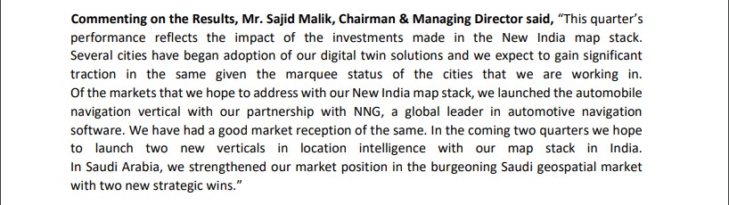
For example we recently launched the Automobile
vertical with our partnership with global leader NNG ,
similarly we expect to launch newer verticals in location
intelligence and 3D every quarter.
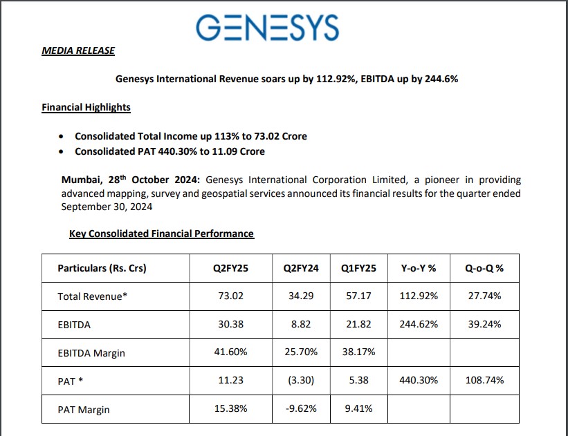
1. Company is building its own map content, spent close to 200 crores for this , money spent on cones building and equipments sensors, cameras, drones , fleets etc.
2. Created all India Navigation map stack, street view of 1500 cities. 2d done for full India, 3d done for many cities. Don’t expect any more investments here for sensors etc, most of heavy lifting is done.
3. Significant growth to come in this sector. Internal target is 30-40% revenue growth for next 3 yrs.
4. Tray to increase margins compared to last 2 quarters.
5. 550 crore order book , most of it is for 12-18 months. Qualified pipeline of 3000 crores. Not l1 just made bids for these. Fairly hopeful of getting these, cant give % win of this 3000 cr.
6. Subscription revenue : content that is built , can be licensed. 20% of revenues will be o this easily.
7. 130 cr intangibles into revenue : Already started conversion to revenues.
8. 2nd half to be better than 1st half.
9. Recurring revenue from enterprises : like apple , google : Constant updates are needed here .
10. Launched auto vertical last Quarter. Very bullish on this vertical. In this year we can see few engagements, fortune to have NNG as partner.
11. 100 crore in Auto market : TAM is small at 500 cr in Automotive maps, Tam needs to expand.
12. Annuity : for map 20% maps in city to be updated so sensors/cameras to pick up these and hence some cost is there in annuity .
13. 3 segments , Mapping, Location intelligence , 3D
14. Location intelligence : For corporates and utilities like BFSI FMCG etc , using spatial data. A platform for these customers, will be launched this year.
15. Data accuracy at 5cm now.
16. For AI/ML : Company has the largest data repository in India for Mapping. Very hard for others to replicate.
17. Employees : 1500 people
Notes i took for self, pls dont treat this as transcript of agm from Genesys management. There would be lot of errors on my notetaking.
Disclosure: Holing and have added more in last 30 days.
Couple of data point which was missing in notes:
• Company would be disappointed if they do not have a orderbook of 1500-2000 cr odd in 2 years time (Current orderbook - 550 cr)
• Geospatial policy envisages that India would have Digital Twin mapping by 2035. Company has already been working on this. Company approached Survey of India to partner with them so that it would give lot of comfort at B2G level. Two fold benefit - 1) Leverage some of SoI infra 2) Work gives lot of comfort to some in Govt of India from Data Compliance etc
• Planning to launch one vertical every quarter - (Utility, location intelligence)
• Google map/Ola map reduced their prices drastically. This has minimal impact on the company
• 5000 urban bodies in the countries. Most of them lack proper map data. Ideally it is supposed to be job of SoI. Indian private sectors are trying to fill this role so it is a huge opportunity. Expecting multiple city projects in FY25/FY26 (in double digit but smaller bodies)
• BMC contract - material part of contract will be finished in current year.
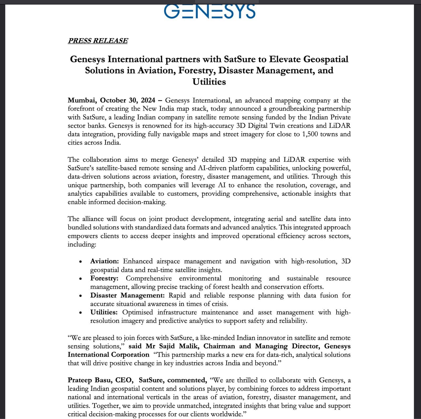
“The collaboration aims to merge Genesys’ detailed 3D mapping and LiDAR expertise with
SatSure’s satellite-based remote sensing and AI-driven platform capabilities, unlocking powerful,
data-driven solutions across aviation, forestry, disaster management, and utilities.”
promoters have sold approx 3.82% stake on oct 31, 2024. wondering why would promoters sale when company is growing and posting good results. no reason of sale also offered. promoter sale disclosure.pdf (659.7 KB)
We may not have exact understanding of sale . But the sector looks in strong momentum technically and fundamental . With 3000 cr bid pipeline we may be in for a strong order flow going forward ( my views ). Company has invested significantly over the years and this reminds me of HBL Power story where the investment was done in priori years and company could capitalize on investment done. Which gets difficult for new player as it would demand considerable time and effort.
Management view of 1500 cr topline in 2-3 years provide some visibility to earning. This could significantly get better as well ( but lumpy )
Even capex spent by govt in last 6 month have been slow and that shud pick up going forward.
Overall the sector will have to evolve to take better decisions / geo data based decision by govt / companies.
Invested lately with decent allocation. Consider a high risk play due to govt order flow . Plan to add more with more order flow. Personal view only
Please attach the public link to the Source of this presentation, when uploading.
Till then this post is withdrawn.
Posting a public link is ALWAYS better than uploading something you may have come across but can’t attribute whether document is for public consumption. VP has faced lot of troubles in the past on this count incl legal notices.
I tried to find their map Wonobo but unable to find it… It seems that it was launched in year 2013. I never seen anyone using this Map… Can anyone confirm if it is available for public use?
WoNoBo was launched in 2013, but it seems like there was no use case to make $$ out of it then.
Also, the quality was not that great, and marketing was also not done to the extent needed; maybe there was no proper market for it. Genesys didn’t push it further as a B2C product. But I assume they are still capturing data for Street View and providing the same to Google, Uber (not confirmed), and other apps now. WoNoBo as such is not being used, is what we can concur.
In the AGM it was mentioned that they will launch new products/vertical every quarter going ahead as the tech stack is already developed and they can spin of new solutions/products. ( please refer to agm notes above.)
I do expect this might make a good comeback ( caveat; I don’t know what sort of agreement they have with Google to push Street View on their own).
That’s exactly what I’m also thinking. When finally things are falling is place, why would the promoter sell 3.8% at this juncture. They should have started hosting concalls by now.
The promoter has many other companies . 2 of them are named GENESYS world eye and GENESYS virtual world tech . These are not listed as subsidiaries in the annual report of GENESYS international .He also has other companies too.
Promoters also sold back in June -September 2022 and between jan to march 2024 , when share prices rose . So it’s very possible that they are selling to put money in other companies or it might be simply that they want to buy a villa in Switzerland . There is not much point speculating . Most important point is that present share price is much higher than the prices they sold at ,in those past instances .
Disc. Invested a month ago only 1% of portfolio as a secondary bet in geospatial.
I am holding this script however not fully convinced on promotor part, will reduce stake above 1000, cash flow is muted, CeINSys looks better governance than this.
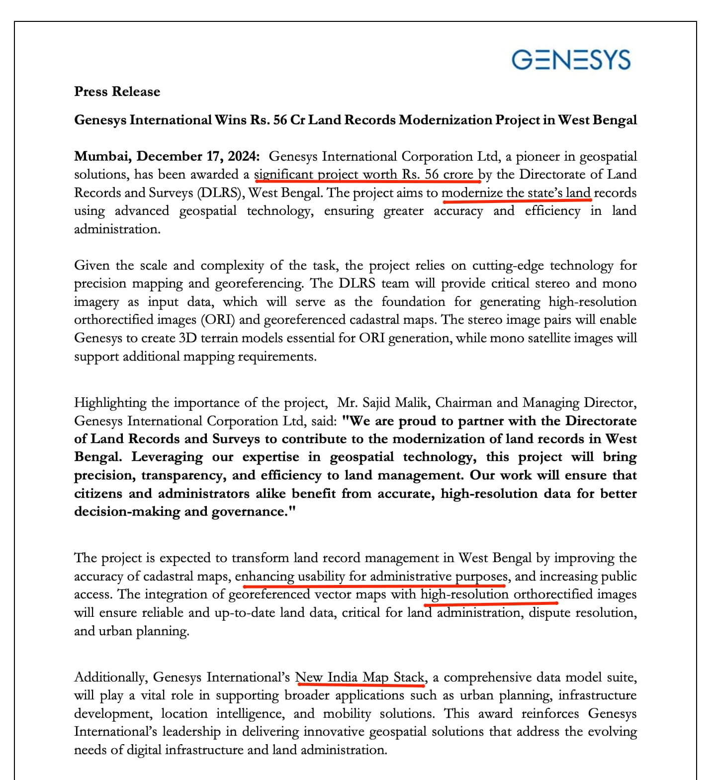
Summarising Land Records Digitisation in India so far :
Overview of Land Records Modernisation
India’s initiative to digitise land records through the Digital India Land Records Modernisation Programme (DILRMP) aims to address longstanding challenges like ownership disputes, fraud, and manual inefficiencies. Launched as a Central Sector Scheme in 2016, DILRMP supports an Integrated Land Information Management System that optimises land resources, improves accessibility, and enhances governance transparency.
The digitisation drive covers both rural and urban area, combining technologies like geospatial mapping, drone surveys, and digital registries to modernise land administration. This includes generating high-resolution ortho-rectified imagery (ORI), geo-referenced cadastral maps, and introducing systems like the Unique Land Parcel Identification Number (ULPIN).
Technical details of the Execution of Land Record Digitisation Process
Data Acquisition and Mapping:
Geospatial Technology:
High-resolution satellite images and stereo/mono imagery are used for precision mapping. Stereo images create 3D terrain models essential for orthorectification.
Drone Surveys: UAVs capture aerial images with high accuracy, significantly reducing survey time. Projects like the SVAMITVA Scheme use drones to map rural properties.
Cadastral Mapping:
Traditional land records are georeferenced and overlaid onto modern orthorectified maps.
This provides accurate visualizations for property boundaries, ownership data, and legal clarity.
Unique Land Parcel Identification Number (ULPIN):
ULPIN, or “Bhu-Aadhaar,” is a 14-digit unique identifier assigned to every land parcel based on geospatial coordinates. It standardizes property identification and reduces disputes.
ULPIN ensures compliance with international standards (ECCMA, OGC) and enhances real estate transactions, disaster management, and urban planning.
Integration of e-Court and Land Registration Systems:
Land record databases are integrated with e-Court systems to provide courts with authentic evidence like cadastral maps and ownership records.
This accelerates case resolution and reduces litigation.
National Generic Document Registration System (NGDRS):
NGDRS streamlines deed and property registration through online entry, payments, and verification. This eliminates fraudulent transactions and ensures a uniform registration process.
Survey-Resurvey Projects:
The government’s NAKSHA Project applies drone-based mapping and GIS technologies for urban land records. Pilots are underway in 100+ cities with plans to scale nationwide.
Orthorectified drone imagery aids in urban planning, drainage management, and flood prevention.
Key Achievements so far
Rural Land Records:
Over 95% of rural land records have been digitized, benefiting 6.26 lakh villages.
87% of Sub-Registrar Offices (SROs) have been integrated with digital records.
The transliteration of land records into Schedule VIII languages improves accessibility for non-native speakers.